Share


19.05.2023
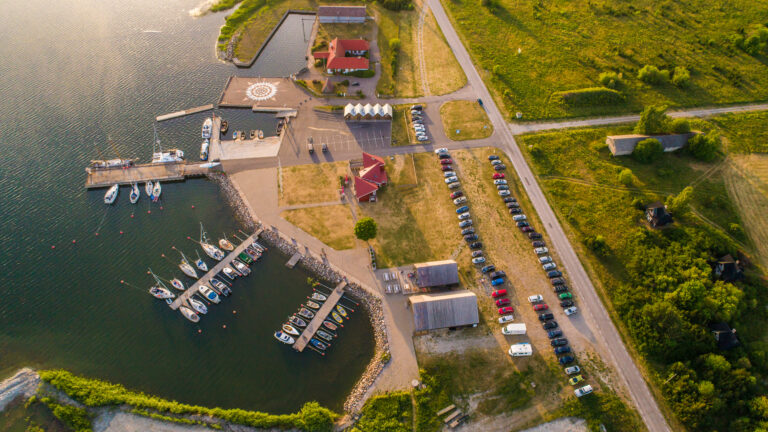
Information for entering Kalana Yacht Harbour
Kalana jahisadam
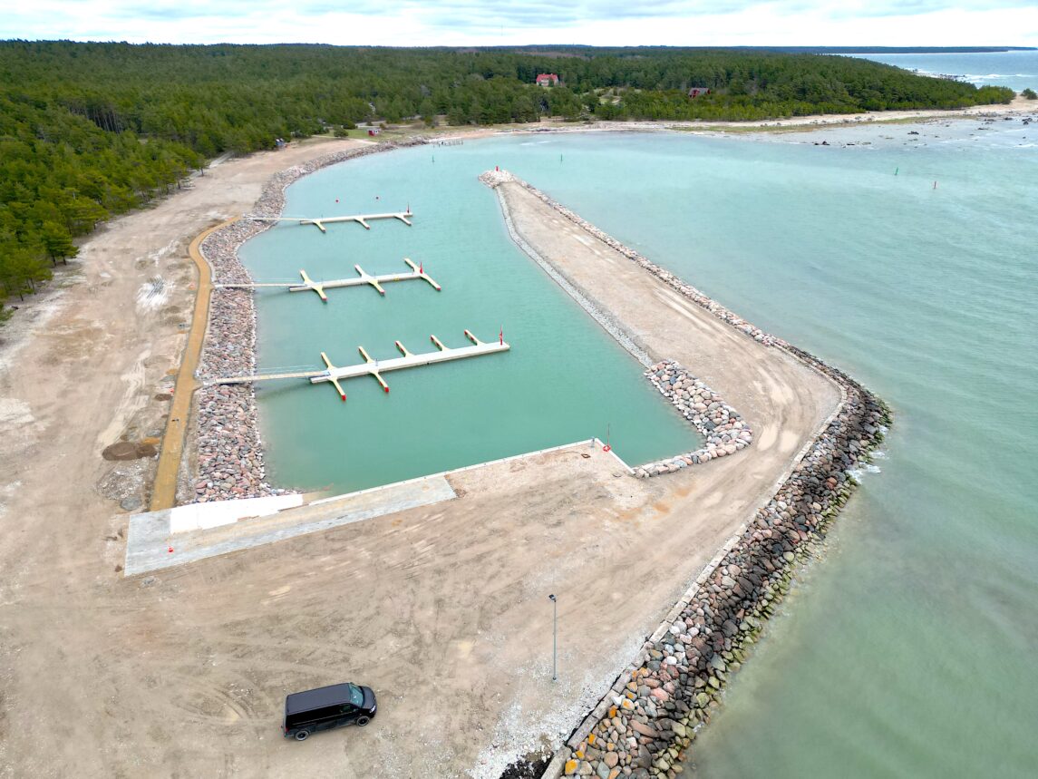
As Kalana Yacht Harbour construction has just finished, navigational information is not provided yet at nautical charts. Therefore some useful information for early visitors:
– Entrance: Sheltered from all directions. Entering the bay could be complicated due to SW swell. From WP 58°54.8872′ N 022°03.5691′ E approach along the leading line 008,4°-188,4° and follow the entry channel lateral marking. Steer to the harbour basin around S mole. At the tip of it light beacon Oc R 4 s (3+1), leading line front mark, red metal cylinder with white rectangles on sides.
– Water depths: according to last hydrographical survey by Meremõõdukeskus from 1 April 2023 https://www.lenne.blue/MOODISTUSED/online.html?dir=../Web_Shared/Kalana&geotag=1669058704_949&v=1684401818956
– AtoN: according to Estonian Transport Administration https://gis.vta.ee/nutimeri/ Swich on the layer “VA andmekihid”
– Berthing: places for visitors by finger pontoons on two outer floating piers. Two mooring buoys or possible alongside mooring for longer vessels near to the entrance. Third, land-side pier is for local fishermen. Contact the harbour in advance by phone +372 5300 6343.